These pages are best viewed with a video resolution of 1024 x 768 or higher.


Topographical Maps


While the cliffs on Cattaraugus aren't as dramatic as Letchworth State Park, they are still rather impressive especially in the lower Zoar Valley area.  Some of the cliffs around the confluence of the South Branch of Cattaraugus reach approximately 300 feet high.  Pictured below are topographical images of Cattaraugus Creek copied from DeLorme Topo USA Version 2.0 (copyright 1999).


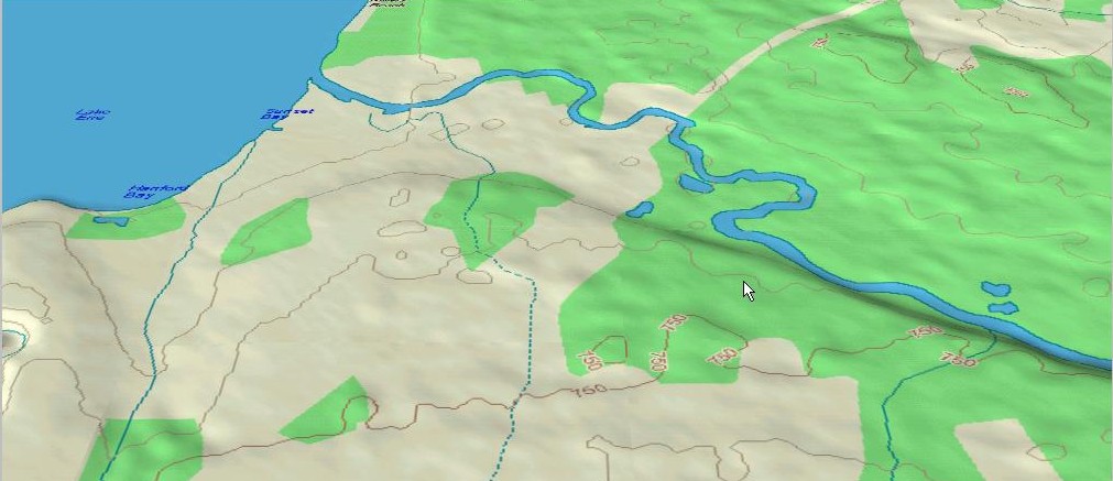
Lake Erie to state Rt. 90
Scale : 1 mile = approx. 1.5 screen inches


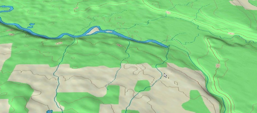
State Rt. 90 to Versailles
Scale : 1 mile = approx. 1.5 screen inches


Versailles to Gowanda
Scale : 1 mile = approx. 1.5 screen inches


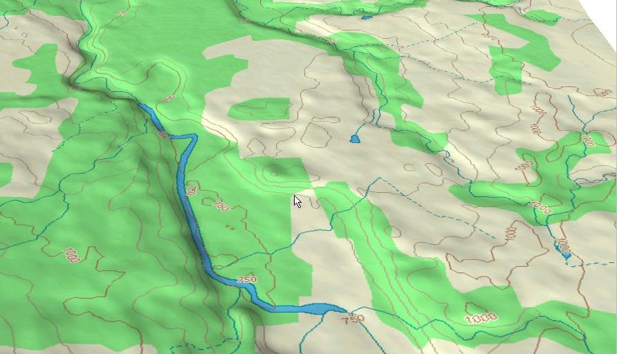
Lower Zoar Valley area including the South Branch of Cattaraugus
Scale : 1 mile = approx. 1.5 screen inches


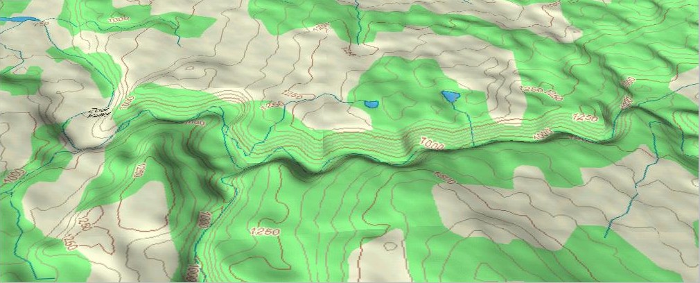
Upper Zoar Valley area to the Springville Dam 
Scale : 1 mile = approx. 1.5 screen inches


The upper Cattaraugus from state Rt. 219 to Java Lake. 
Scale : 1 mile = approx. 0.5 screen inches


Home
Cattaraugus Information and History Topo Maps
Fish of  Cattaraugus Creek
Stocking Information Salmon River Hatchery Discharge Data and Corresponding  Stream Illustrations
Wild Salmonid  Studies and Information Weekly Fishing Reports Great Lakes Fishing  Regulations
Current Weather Information for the Area The Springville Dam Debate Wild vs. Hatchery Determination
E-Mail:
cattaraugusfishery@yahoo.com